
Preview
Description
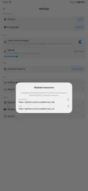
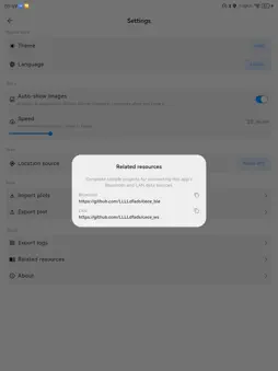
cece map is a local-first surveying app for plots and paths. Record, review, and replay on the map—no account required. Your data stays on your device. Survey & record • Create closed plots or open paths • Sample points manually, on a time interval, or by distance • See area and length while recording; pause, undo, and save anytime Position sources • Phone GPS for on-the-go surveys • Bluetooth external positioning devices • LAN WebSocket source for on-site networks Review & replay • Switch between standard and satellite maps • Follow your location; search, rename, and edit saved records • Replay a path along its real track; auto-preview photos at tagged points • Attach photos from camera or gallery so field details stay with the record Local & preferences • Import and export plots for backup and sharing • On-device storage, works offline • Light/dark themes and multi-language UI Whether you’re measuring fields, logging a route, or reviewing a site, keep your geometry in cece map and survey at your own pace.
Technical Analysis
Package Overview Basic metadata
Bundle ID
com.dstudio.cecemap Current Version 1.0
Minimum iOS 15.5
Package Size App Store Size
Package Metadata 0 / 0 version records
Detailed binary, privacy manifest, framework, and Info.plist results have not been indexed for this package yet. The verified App Store and archive metadata above remains available.
Known Version Records
0 version records with stored package metadata
Stored metadata does not guarantee a package is currently available to download.
| Details | Version / IDs | Version date | Action |
|---|