
Preview


Description
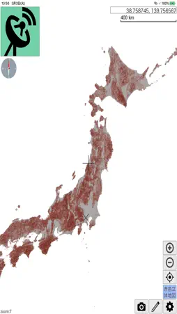
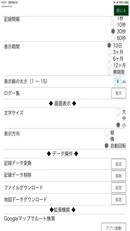
This app will trace the root that you walk with the device by GPS, and can display various forest GIS data provided by Asia Air Survey Co., Ltd, such as Airbourne picutre, orth data and red relief image. You can carry out the detailed survey with these special data on site, which only can be done in front of the high spec computers in the office.
What's New
Version 6.1.2 2020-12-08
Be able to create & edit lines, polygons and points Technical Analysis
Package Overview Basic metadata
Bundle ID
jp.co.ajiko.forest.track Current Version 6.1.2
Minimum iOS 10.3
Package Size App Store Size
Package Metadata 0 / 2 version records
Detailed binary, privacy manifest, framework, and Info.plist results have not been indexed for this package yet. The verified App Store and archive metadata above remains available.
Known Version Records
0 version records with stored package metadata • 2 known version records
Stored metadata does not guarantee a package is currently available to download.
| Details | Version / IDs | Version date | Action |
|---|---|---|---|
| Not archived | App Store ID: 839493873 | Unknown | Request Version |
| Not archived | App Store ID: 834944521 | Unknown | Request Version |