
Preview



Description
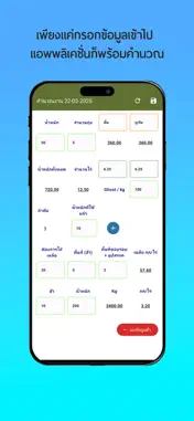
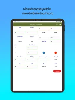
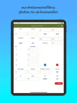
Are you a modern farmer or agricultural professional looking to optimize drone operations and streamline field management? Look no further! Our SowGrid Drone app provides a simple yet powerful solution for accurately calculating the area of your farm fields and managing resources. Effortless Area Calculation: - Input field dimensions (length, width, or custom shapes) in meters, feet, or acres. - Instantly calculate the area in your preferred units. - Supports rectangular, square, and custom polygon shapes. User-Friendly Interface: - Intuitive design for easy navigation and quick calculations. - Clear and concise display of results. - No complex settings or technical expertise is required. Offline Functionality: - Perform calculations even without an internet connection. - Ideal for use in remote agricultural areas. Clear Visualizations: - See a visual representation of the calculated area. - Verify the accuracy of your input data. Ideal for: - Farmers and agricultural professionals - Drone operators and service providers - Crop consultants and agronomists - Agricultural researchers and students
Technical Analysis
Package Overview Basic metadata
Bundle ID
com.droneteam.sowgriddrone Current Version 1.0
Minimum iOS 15.1
Package Size App Store Size
Package Metadata 0 / 1 version records
Detailed binary, privacy manifest, framework, and Info.plist results have not been indexed for this package yet. The verified App Store and archive metadata above remains available.
Known Version Records
0 version records with stored package metadata • 1 known version records
Stored metadata does not guarantee a package is currently available to download.
| Details | Version / IDs | Version date | Action |
|---|---|---|---|
| Not archived | App Store ID: 873277460 | Unknown | Paid / Arcade |