Preview


Description
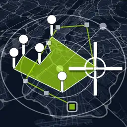
Tactical pro tool for measuring areas on the map. Place your points on the map and then calculate area between all point, calculate total Area of ant Route. Measure any distance, route, or area you want, over Maps STANDARD SATELLITE TERRAIN HYBRID AUBERGINE NIGHT DARK For accurate measurement, it is possible to connect an external GNSS or RTK antenna via bluetooth. -Measure distance -Measure Area -Circle View -Map compass >Support UTM & MGRS coordinates Coordinate types: - Dec Degs (DD.dddddd°) - Dec Degs Micro (DD.dddddd "N, S, E, W") - Dec Mins (DDMM.mmmm) - Deg Min Secs (DD°MM'SS.sss") - Dec Mins Secs (DDMMSS.sss") - UTM (Universal Transverse Mercator) - MGRS (Military Grid Reference System) > Measurement units; -Foot & mile (ft.mi) -Foot,Mile & Acre (ft,mi,ac) -Foot (ft) -Metric (m,km) -Yard (yd) -Nautical Mile (nmi)
Technical Analysis
Package Overview Basic metadata
Bundle ID
com.app.helloearth Current Version 1.0
Minimum iOS 13.0
Package Size App Store Size
Package Metadata 0 / 1 version records
3.0 / 5.0 (1 ratings)
Detailed binary, privacy manifest, framework, and Info.plist results have not been indexed for this package yet. The verified App Store and archive metadata above remains available.
Known Version Records
0 version records with stored package metadata • 1 known version records
Stored metadata does not guarantee a package is currently available to download.
| Details | Version / IDs | Version date | Action |
|---|---|---|---|
| Not archived | App Store ID: 846128764 | Unknown | Request Version |