Preview






Description
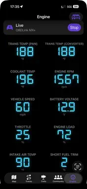
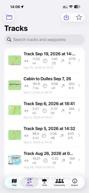
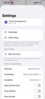
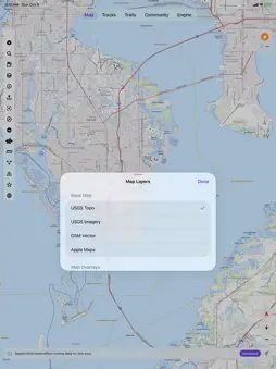
Every map, one app. Top-Nav brings topo maps, trail navigation, weather, marine charts, family location sharing and vehicle data together, so you can plan, explore and stay connected without leaving the map. MAP LAYERS: STACK WHAT YOU NEED USGS Topo maps High-resolution satellite imagery OpenStreetMap vector maps Street maps Terrain shading and slope angle, for backcountry and avalanche-aware planning Streams and rivers overlay Watershed boundaries Live weather radar and weather data Tides NOAA nautical charts Speed limits TRACKS & TRAILS Record your tracks, follow trails, and find your next route. Save every adventure and share it with friends. FAMILY CIRCLE Share your location with the people who matter. See your family on the same map you use to navigate, whether you're on the trail, on the water or on the road. COMMUNITY Discover routes, trail conditions and tips from other explorers, and share your own. VEHICLE DATA Connect an OBD2 adapter to see real-time engine and performance data alongside your map. ONE APP FOR EVERY ADVENTURE Hiking, hunting, overlanding, boating or a road trip with the family: Top-Nav replaces a phone full of apps with one map that does it all.
What's New
Version 1.0.13 2026-11-06
Introduced additional options for tracks. Technical Analysis
Package Overview Basic metadata
Bundle ID
com.macking.TopoTracker Current Version 1.0.13
Minimum iOS 18.0
Package Size App Store Size
Package Metadata 0 / 0 version records
Detailed binary, privacy manifest, framework, and Info.plist results have not been indexed for this package yet. The verified App Store and archive metadata above remains available.
Developer Information
Known Version Records
0 version records with stored package metadata
Stored metadata does not guarantee a package is currently available to download.
| Details | Version / IDs | Version date | Action |
|---|