Preview





Description
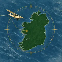
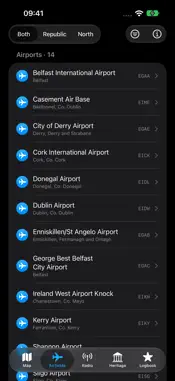
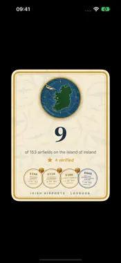
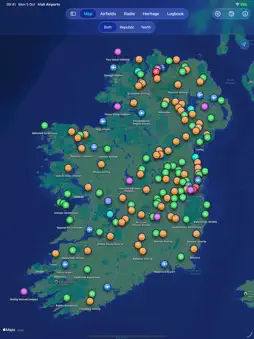
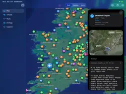
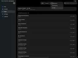
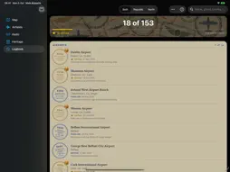
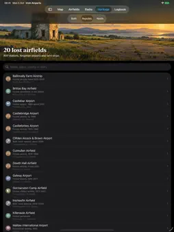
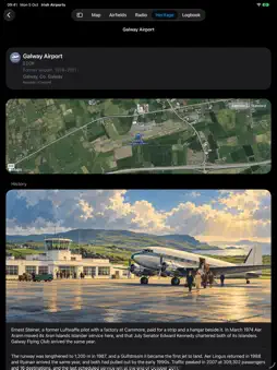
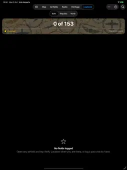
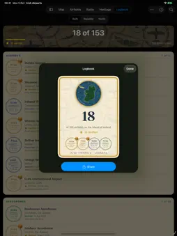
Irish Airports is the guide to every airfield on the island of Ireland, from Dublin and Shannon to grass farm strips, microlight fields, island aerodromes, heliports and the seaplane base on Lough Derg. North and South, 153 open fields in one app, with the lost airfields of the past alongside them. THE MAP Every field on one map of the island, each marked by its kind, so a farm strip never looks like an airport. Filter by kind, show only fields with an ICAO code, or narrow the island to the Republic or Northern Ireland. Switch between standard and satellite. Tap a pin and the field opens beside the map. EVERY FIELD IN DETAIL A close satellite view of the field itself. ICAO and IATA codes, elevation and position. Runways with length, width, surface and lighting. Radio frequencies in the order you would use them. Distance and bearing from where you stand, and today's dawn, sunrise, sunset and dusk at the field. LIVE WEATHER The latest METAR and TAF for every field that reports one, with the time it was retrieved and a refresh button, so you always know how old the report is. RADIO Every airfield frequency on the island in one list, sorted by field, by frequency or by type, plus Shannon VOLMET, the HF weather broadcast from County Clare, with its four channels and schedule. Built for airband and shortwave listeners. HERITAGE 33 lost airfields with their stories. Wartime RAF stations and the flying-boat base on Lough Erne. Galway's airport and Belfast's old airport at Nutts Corner. The farm strips and estate runways that have gone back to grass, and the racecourse where a business jet once landed in an emergency. Every story is written from cited sources, which you can open and read for yourself. YOUR LOGBOOK Collect the island. Log the fields you have visited, flown into or spotted, and each one becomes a passport stamp in your album, page by page and kind by kind, with a running tally of how many of the island's fields you have. Stand at a field and tap Verify Location to earn its gold star. The app takes a single reading of your position, checks it is close enough, and throws it away. Only the star and the date are kept. Nothing runs in the background and nothing about where you have been leaves your device. SHARE IT Turn any visit into a poster-style card with its stamp, or share your tally, ready for messages and social media. Export your logbook to a file and import it again whenever you need to. DESIGNED FOR IPHONE AND IPAD Mid-century aviation travel-poster artwork throughout. On iPad the field slides in beside the map. PRIVATE BY DESIGN No account. No subscription. No advertising. Your logbook lives on your device. The airfield guide works without a connection, and only the map imagery and the weather need one. Airfield data from OurAirports. Weather from AviationWeather.gov. Not for navigation.
What's New
Version 2.1 2026-10-17
Irish Airports is ready for iPhone Duo. The map, the lists and the airfield detail open across the whole of the inner display and sit properly on the outer one,... Technical Analysis
Package Overview Basic metadata
Bundle ID
com.fiddlemeragged.irishairports Current Version 2.1
Minimum iOS 26.0
Package Size App Store Size
Package Metadata 0 / 0 version records
Detailed binary, privacy manifest, framework, and Info.plist results have not been indexed for this package yet. The verified App Store and archive metadata above remains available.
Developer Information
Known Version Records
0 version records with stored package metadata
Stored metadata does not guarantee a package is currently available to download.
| Details | Version / IDs | Version date | Action |
|---|