
Preview

Description
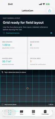
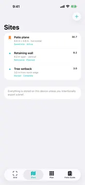
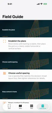
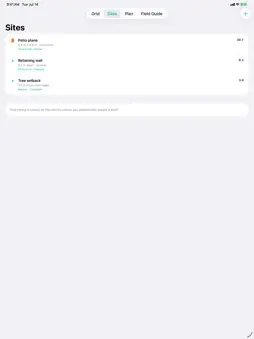
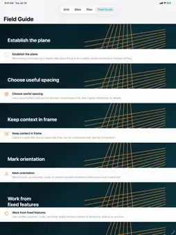
LatticeCam is a private AR site-grid workbench for seeing spacing and alignment in the real environment before committing a field layout. Choose a horizontal or vertical surface, set the intended spacing, and tap a detected plane to place a high-contrast RealityKit lattice. Save labeled site references, area or distance estimates, critical verification flags, and follow-up tasks, then create a concise PDF brief on device. KEY FEATURES - Live ARKit horizontal and vertical plane detection - Tap-to-place RealityKit lattice - Adjustable grid spacing from 0.25 to 5 meters - High-contrast center axes and placement marker - Local saved-site records and verification flags - Planning metrics and follow-up checklist - On-device PDF field brief - 12-entry offline field guide - No account, ads, tracking, analytics, subscription, or developer server LatticeCam is a visualization and planning aid, not a calibrated surveying instrument. AR placement and user-entered dimensions are estimates. Confirm critical dimensions, boundaries, grade, utilities, and safety requirements with appropriate tools and qualified professionals.
Technical Analysis
Package Overview Basic metadata
Bundle ID
com.realbobcorbin.LatticeCam Current Version 1.0
Minimum iOS 17.0
Package Size App Store Size
Package Metadata 0 / 0 version records
Detailed binary, privacy manifest, framework, and Info.plist results have not been indexed for this package yet. The verified App Store and archive metadata above remains available.
Price History (USA store)
5 recorded price change points. These are historical observations, not a guarantee of the current price.
| Recorded at | Price | Currency |
|---|---|---|
| 3.99 | USD | |
| 0.0 | USD | |
| 2.99 | USD | |
| 3.99 | USD | |
| 2.99 | USD |
Developer Information
Known Version Records
0 version records with stored package metadata
Stored metadata does not guarantee a package is currently available to download.
| Details | Version / IDs | Version date | Action |
|---|