
Preview



Description
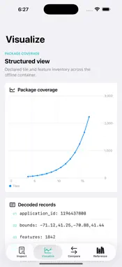
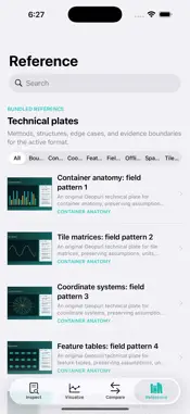
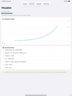
Geopurl: Offline Map Lab is a focused, fully on-device app. A native GeoPackage and MBTiles field workbench for inspecting layers, tile pyramids, attributes, bounds, coordinate metadata, and offline map-package health. KEY FEATURES - Open GeoPackage and MBTiles containers from Files - Inventory vector, raster, tile, and attribute tables - Inspect zoom coverage, bounds, CRS, and row counts - Preview bundled offline vector and raster layers - Export a package-health report without uploading data - Complete bundled sample and local comparison workflow - Local PDF report and Apple system share export - Original offline technical reference library ONE-TIME AND PRIVATE - One paid download; no subscription or in-app purchase - No account, advertising, analytics, tracking, or developer-operated backend - Core features and bundled content work offline - Work remains on device unless you deliberately share or export it through an Apple system interface Inspection and field-review aid only. Confirm survey control, CRS transformations, topology, and authoritative source data in approved GIS software.
Technical Analysis
Package Overview Basic metadata
Bundle ID
com.realbobcorbin.Geopurl Current Version 1.0
Minimum iOS 17.0
Package Size App Store Size
Package Metadata 0 / 0 version records
Detailed binary, privacy manifest, framework, and Info.plist results have not been indexed for this package yet. The verified App Store and archive metadata above remains available.
Price History (USA store)
4 recorded price change points. These are historical observations, not a guarantee of the current price.
| Recorded at | Price | Currency |
|---|---|---|
| 2.99 | USD | |
| 0.0 | USD | |
| 3.99 | USD | |
| 0.99 | USD |
Developer Information
Known Version Records
0 version records with stored package metadata
Stored metadata does not guarantee a package is currently available to download.
| Details | Version / IDs | Version date | Action |
|---|