Preview



Description
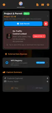
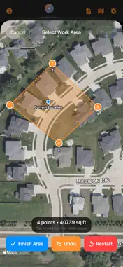
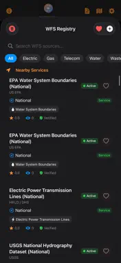
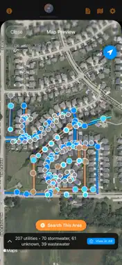
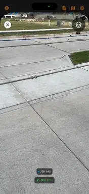
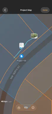
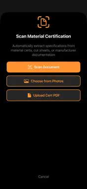
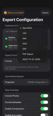
Digital ROW Utilities helps contractors, utility engineers, and inspectors document underground and aboveground utility infrastructure in the field. CAPTURE AND DOCUMENT • Capture point and linear features with location measurements and recorded uncertainty. • Attach field photographs, asset attributes, material certificates, and inspection notes. • Measure visible surfaces and trench geometry with LiDAR on supported devices. • Review on-device infrastructure detection candidates before adding them to your project. MAPS AND REFERENCE DATA • Browse public WFS and ArcGIS reference sources. • Import KML overlays, PDF plan sheets, and georeferenced imagery. • View captured assets and reference overlays in augmented reality. • Review extracted plan-sheet symbols, lines, and tabulations before accepting them. REVIEW AND DELIVER • Record ASCE 75-22-oriented utility attributes and positional accuracy information. • Review data completeness, provenance, and quality-level justification. • Capture collector, reviewer, and professional signature records for your review workflow. • Export GIS and civil-design formats, PDF reports, and deliverable packages with file hashes. • Publish to your own configured ArcGIS destination using your credentials. LOCAL FIELD WORKFLOW • Organize projects, permits, photos, and scans on your device. • Undo edits and recover a previous session snapshot when possible. • Exchange session bundles with another device through a user-selected sharing method. • Prepare permit packets and follow the selected agency's filing instructions. Phone positioning retains the device's measured accuracy. A correction-stream connection alone does not improve phone accuracy or establish an RTK fix. LiDAR and AR availability depend on device hardware. Utility investigation quality and professional compliance require appropriate evidence and review; the app does not certify them automatically from GPS precision. Cloud account synchronization and external accessory GNSS connectivity are not enabled in this release. Permit packet preparation does not constitute agency acceptance or an 811 ticket. Built by Purpose Built Systems for field utility documentation.
What's New
Version 1.0.4 2026-10-15
• Fixed a WFS map-preview crash caused by invalid map regions. • Added safeguards for malformed coordinates and oversized public GIS responses. • Added Nearby o... Technical Analysis
Package Overview Basic metadata
Bundle ID
com.purposebuiltsystems.DigitalROWUtilities Current Version 1.0.4
Minimum iOS 17.0
Package Size App Store Size
Package Metadata 0 / 2 version records
Detailed binary, privacy manifest, framework, and Info.plist results have not been indexed for this package yet. The verified App Store and archive metadata above remains available.
Developer Information
Known Version Records
0 version records with stored package metadata • 2 known version records
Stored metadata does not guarantee a package is currently available to download.
| Details | Version / IDs | Version date | Action |
|---|---|---|---|
| Not archived | App Store ID: 884467431 | Unknown | Request Version |
| Not archived | App Store ID: 883894313 | Unknown | Request Version |