Preview




Description
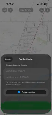
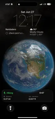
0. Let the app download the USGS contour maps of your area. 1. Set a destination and press "Start Hike." 2. Hike. 3. See your progress on the map. 4. Press the arrow button to orient the map where you're facing. 5. Take a photo to mark a waypoint on the map. 6. Press "Return Home" and the app will guide you back to the start. Simple. SimpleHiker. • Your lock screen will also show the hike progress. • Even if you lose connection to the internet, the app still works via GPS as long as you let it download the local maps before you left internet range. • Past hikes and photo waypoints are automatically saved in your local phone DB and your private iCloud storage. You can delete them at any time. • No subscription, no in-app purchases, ever, ever, ever. • No data is shared to anyone, ever. We do not collect any information except the crash reports Apple sends us.
Technical Analysis
Package Overview Basic metadata
Bundle ID
com.physicalsoftware.SimpleHiker Current Version 1.0
Minimum iOS 26.2
Package Size App Store Size
Package Metadata 0 / 0 version records
Detailed binary, privacy manifest, framework, and Info.plist results have not been indexed for this package yet. The verified App Store and archive metadata above remains available.
Developer Information
Known Version Records
0 version records with stored package metadata
Stored metadata does not guarantee a package is currently available to download.
| Details | Version / IDs | Version date | Action |
|---|