
Preview





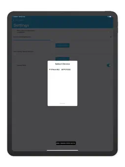
Description
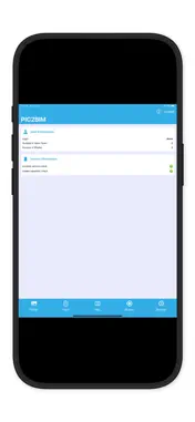
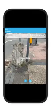
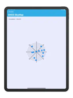
PIC2BIM – Trusted Geotagged Photo Capture with EGNSS PIC2BIM is a powerful, open-source iOS app designed for professionals who need accurate, authenticated geotagged photos. Built on European GNSS innovations, the app ensures every image is location-verified and ready for use in construction, surveying, asset management, and more. -Originally developed under the EU Space Programme, PIC2BIM now brings advanced geolocation features to your iPhone: -OS-NMA authentication for trusted satellite-sourced location data -EGNOS-enhanced accuracy even in challenging environments -Dual-frequency GNSS support for robust, high-precision tracking -Capture, verify, and export secure photo data—directly from the field.
Technical Analysis
Package Overview Basic metadata
Bundle ID
com.buildvoc Current Version 1.0
Minimum iOS 18.0
Package Size App Store Size
Package Metadata 0 / 1 version records
Detailed binary, privacy manifest, framework, and Info.plist results have not been indexed for this package yet. The verified App Store and archive metadata above remains available.
Known Version Records
0 version records with stored package metadata • 1 known version records
Stored metadata does not guarantee a package is currently available to download.
| Details | Version / IDs | Version date | Action |
|---|---|---|---|
| Not archived | App Store ID: 875565061 | Unknown | Request Version |