Preview






Description
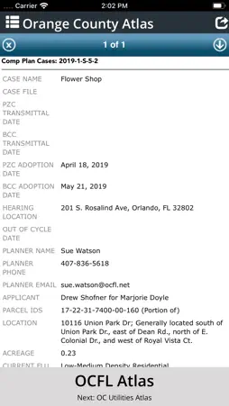
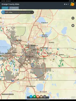
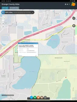
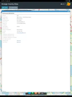
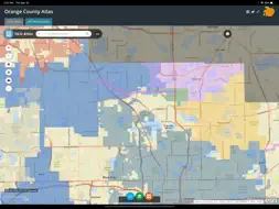
OCFL Atlas is an application that encourages citizens to become more engaged in the growth of their community by pinpointing new construction projects in Orange County. This app offers citizens the ability to access real-time development data, board meeting details and project locations. Users can zoom into their current location, search by address or pan around Orange County to see new projects. Public notification is required for development applications to ensure citizens have the opportunity to express opinions prior to a public hearing. OCFL Atlas is designed to work on most devices including desktop computers, smartphones and tablets.
What's New
Version 1.4 2020-06-17
Bug fixes: - Fixed issue with inability to select layers for the Utilities map Technical Analysis
Package Overview Package analysis available
Bundle ID
net.ocfl.OCFLAtlas Current Version 1.4
Minimum iOS 10.3
Package Size App Store Size
Package Metadata 1 / 5 version records
Reachability
org.cocoapods.Reachability v5.0.0iOS 8.0+233.64 KB
Developer Information
Known Version Records
1 version record with stored package metadata • 5 known version records
Stored metadata does not guarantee a package is currently available to download.
| Details | Version / IDs | Version date | Action |
|---|---|---|---|
 5.83 MB | v1.4 App Store ID: 836421745Build: 4 | 2020-06-16 09:41:42 | Get Version |
| Not archived | App Store ID: 835267004 | Unknown | Request Version |
| Not archived | App Store ID: 826538888 | Unknown | Request Version |
| Not archived | App Store ID: 825083430 | Unknown | Request Version |
| Not archived | App Store ID: 816963356 | Unknown | Request Version |