Preview


Description
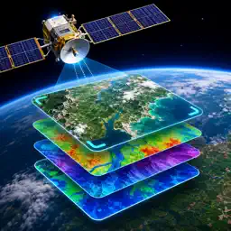
Satellite Imagery Data Processing brings advanced satellite image analysis and remote sensing tools to iPhone and iPad in a modern, intuitive workspace. Import, process, visualize, and export satellite imagery with powerful tools designed for researchers, GIS professionals, environmental analysis, agriculture monitoring, urban planning, and geospatial exploration. Work with multispectral imagery, apply intelligent enhancement, analyze terrain and vegetation, and transform raw satellite datasets into actionable insights—all from a mobile experience optimized for performance and precision. Features: • Import satellite imagery and geospatial raster datasets • Support for GeoTIFF, TIFF, JPEG2000, NetCDF, HDF5, and more • View multispectral layers with smooth zoom and GPU acceleration • Generate NDVI, false color, infrared, thermal, and custom visualizations • Apply image enhancement, correction, denoising, and cloud reduction • Perform band analysis, classification, and change detection workflows • AI-assisted land, water, road, and object recognition • Measure distance, area, and geographic regions • Create professional exports and reports • Sync projects across devices and cloud storage providers Designed for modern iOS devices, Satellite Imagery Data Processing combines scientific capability with an elegant interface built for mobile productivity. Upgrade to Pro for advanced processing, AI analysis, unlimited exports, and expanded cloud workflows. We currently offer the following auto-renewing subscription option: -$7.99 per month -$34.99 per month Payment will be charged to iTunes Account at confirmation of purchase. Your subscription will automatically renews unless auto-renew is turned off at least 24-hours before the end of the current period. Your account will be charged for renewal within 24-hours prior to the end of the current period. Subscriptions may be managed and auto-renewal may be turned off by going to the Account Settings after purchase. No cancellation of the current subscription is allowed during active subscription period. • Any unused portion of a free trial period, if offered, will be forfeited when the user purchases a subscription to that publication, where applicable Terms of Use: https://tos.nguyenanhapps.com Privacy Policy: https://privacy.nguyenanhapps.com
What's New
Version 1.1 2026-07-20
-Bug fixes and improvements Technical Analysis
Package Overview Basic metadata
Bundle ID
nguyenanhapps.satelliteimagery Current Version 1.1
Minimum iOS 17.0
Package Size App Store Size
Package Metadata 0 / 0 version records
Detailed binary, privacy manifest, framework, and Info.plist results have not been indexed for this package yet. The verified App Store and archive metadata above remains available.
Developer Information
Known Version Records
0 version records with stored package metadata
Stored metadata does not guarantee a package is currently available to download.
| Details | Version / IDs | Version date | Action |
|---|