Preview


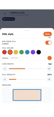
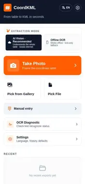
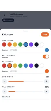



Description
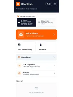
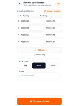
CoordKML is a professional surveying tool for engineers, surveyors and GIS professionals. Features: • AI Vision coordinate extraction • Offline OCR support • Read survey tables from images and PDF files • Manual coordinate entry • Automatic Easting/Northing validation • Export KML for Google Earth • Export DXF for AutoCAD • Polygon, polyline and point support • Area and perimeter calculation • UTM Zone 40N support • Preview before export Designed for fast and accurate conversion of survey coordinates into mapping files.
Technical Analysis
Package Overview Basic metadata
Bundle ID
com.emergent.coordinatecam.ruer2p Current Version 1.0
Minimum iOS 15.1
Package Size App Store Size
Package Metadata 0 / 0 version records
Detailed binary, privacy manifest, framework, and Info.plist results have not been indexed for this package yet. The verified App Store and archive metadata above remains available.
Known Version Records
0 version records with stored package metadata
Stored metadata does not guarantee a package is currently available to download.
| Details | Version / IDs | Version date | Action |
|---|