
Preview







Description
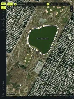
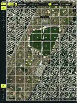
MeasureGeo is a field map toolkit. Draw and measure polygons and lines, drop a GRG grid on the view, and leave with an export. Search for a place or a coordinate and go there. Switch basemaps among U.S. government (USGS) topo and imagery, CycleOSM, and OpenTopoMap; outside the U.S. a free satellite imagery mosaic fills in. Google and Bing tiles are not included. Print a field sheet of the map and the measurements. Export KML, GeoJSON, GPX, or a shapefile, then use Send to… to hand the file to another app. Drawings stay on this device. There is no account and no ads. Location is used only when you tap Locate, to center the map.
What's New
Version 1.0.2 2026-11-11
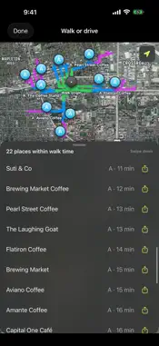
The main map on iPhone now uses Apple Maps, with Standard and Hybrid styles and Hybrid as the default. Drawings stay locked to the map when you zoom. Walk Place...The main map on iPhone now uses Apple Maps, with Standard and Hybrid styles and Hybrid as the default. Drawings stay locked to the map when you zoom. Walk Places checks walking or driving time to nearby places, and you can export one route or all routes as GPX, KML, KMZ, or GeoJSON. Technical Analysis
Package Overview Basic metadata
Bundle ID
com.marshallfrith.measuregeo Current Version 1.0.2
Minimum iOS 16.0
Package Size App Store Size
Package Metadata 0 / 0 version records
Detailed binary, privacy manifest, framework, and Info.plist results have not been indexed for this package yet. The verified App Store and archive metadata above remains available.
Known Version Records
0 version records with stored package metadata
Stored metadata does not guarantee a package is currently available to download.
| Details | Version / IDs | Version date | Action |
|---|