
Preview


Description
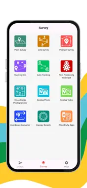
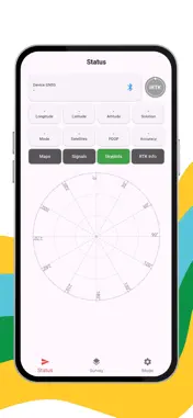
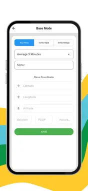
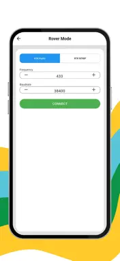
Plot Survey Mobile RTK also includes project management features that allow surveyors to handle field work directly on the device. Users can classify points, add notes or attributes, and immediately review collected measurements without transferring data to a computer first. This helps ensure data validity and minimizes repeat surveys. The application can connect to external GNSS receivers via Bluetooth and supports real-time correction through NTRIP or radio link when used with compatible RTK equipment. When paired with a geodetic receiver, the app is capable of achieving high-precision positioning suitable for professional surveying activities. Plot Survey Mobile RTK provides navigation and stake-out guidance, showing distance and direction to target coordinates. This feature is useful for construction layout, land boundary marking, topographic mapping, plantation mapping, and infrastructure surveying. All collected observations can be displayed directly on the map screen, allowing users to quickly check survey coverage and alignment while still in the field. Data can then be exported and shared for further processing in GIS or CAD software, making the workflow faster and more practical for daily survey operations.
Technical Analysis
Package Overview Basic metadata
Bundle ID
com.gis.survey.mobile Current Version 1.0
Minimum iOS 13.0
Package Size App Store Size
Package Metadata 0 / 1 version records
Detailed binary, privacy manifest, framework, and Info.plist results have not been indexed for this package yet. The verified App Store and archive metadata above remains available.
Known Version Records
0 version records with stored package metadata • 1 known version records
Stored metadata does not guarantee a package is currently available to download.
| Details | Version / IDs | Version date | Action |
|---|---|---|---|
| Not archived | App Store ID: 881913792 | Unknown | Request Version |