Preview


Description
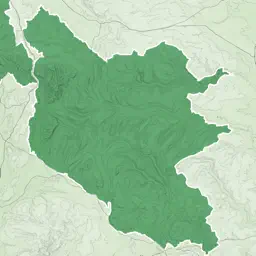
An offline map of the Yorkshire National Park in England, ideal for hiking, running, mountain biking / cycling. Being offline means unlike other map apps, you don't need a signal to access detailed maps of the area. Features: * Clearly see footpaths, tracks and contours * Search for not just towns, but also lakes and hills, cliffs/crags and ridge names * Location in OS grid reference coordinates * Find your location using your phone GPS * Show or hide various features
Technical Analysis
Package Overview Basic metadata
Bundle ID
com.jonshutt.yorkshiredalesomap Current Version 1.0
Minimum iOS 11.0
Package Size App Store Size
Package Metadata 1 / 1 version records
Detailed binary, privacy manifest, framework, and Info.plist results have not been indexed for this package yet. The verified App Store and archive metadata above remains available.
Developer Information
Known Version Records
1 version record with stored package metadata
Stored metadata does not guarantee a package is currently available to download.
| Details | Version / IDs | Version date | Action |
|---|---|---|---|
| 59.93 MB | v1.0 App Store ID: 843951159Build: 1.0 | 2021-09-17 10:51:12 | Get Version |