
Preview




Description
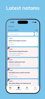
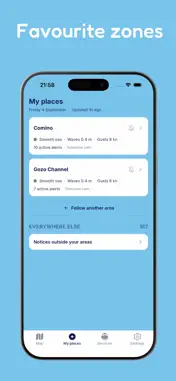
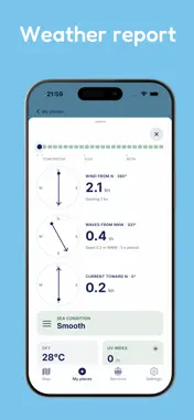
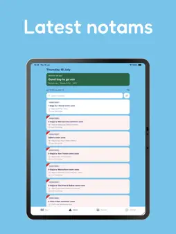
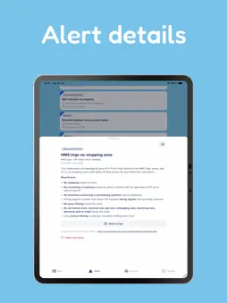
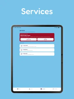
BlueBaħar helps you know before you go out to sea, now in Malta, Gozo and Greece. Made for boaters, swimmers and divers, BlueBaħar puts the official maritime information for your waters on one clear map. Check notices to mariners, navigational warnings, restricted areas, protected zones and live weather before you head out. In Malta and Gozo: • Transport Malta notices to mariners, drawn on the map • Restricted, swimming and bunkering areas, and falling-rock zones • Beaches with weekly water quality, dive sites and fuel stops • Local rules of the sea, boating clubs, bunkering contacts and partner offers • Report hazards and floating debris, sent to local NGOs In Greece: • Hellenic Navy Hydrographic Service navigational warnings, drawn on the map • Marine parks and military restricted areas • Beaches with their EU bathing water class, dive sites and depth contours • Boating hotspots and fuel points • Local rules of the sea, boating clubs and bunkering contacts • Coast Guard 108 and the nearest rescue centre on the emergency card Everywhere: • Alerts for your waters: follow an area and hear only about new notices or rough sea there • Live weather and sea state for any point you tap • Offline maps, one download per country • Boat traffic from AIS and from boaters who choose to share Safety information is free, always. Sicily is coming next. Be ready before you go.
What's New
Version 3.0.0 2026-11-06
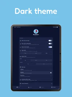
BlueBaħar now covers Greece. Navigational warnings, marine parks, military restricted areas, beaches, dive sites and an offline map for all Greek waters, with C...BlueBaħar now covers Greece. Navigational warnings, marine parks, military restricted areas, beaches, dive sites and an offline map for all Greek waters, with Coast Guard and rescue centre numbers on the emergency card. Also new: offline maps for each country in Settings, a Data sources page, a faster start for new users, and fixes for crashes some iPhones had with alert zones. Technical Analysis
Package Overview Basic metadata
Bundle ID
com.bluebahar.mt Current Version 3.0.0
Minimum iOS 16.4
Package Size App Store Size
Package Metadata 0 / 5 version records
Detailed binary, privacy manifest, framework, and Info.plist results have not been indexed for this package yet. The verified App Store and archive metadata above remains available.
Developer Information
Known Version Records
0 version records with stored package metadata • 5 known version records
Stored metadata does not guarantee a package is currently available to download.
| Details | Version / IDs | Version date | Action |
|---|---|---|---|
| Not archived | App Store ID: 889307806 | Unknown | Request Version |
| Not archived | App Store ID: 888398460 | Unknown | Request Version |
| Not archived | App Store ID: 887811480 | Unknown | Request Version |
| Not archived | App Store ID: 886934904 | Unknown | Request Version |
| Not archived | App Store ID: 885282473 | Unknown | Request Version |