Preview




Description
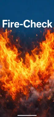
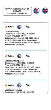
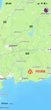
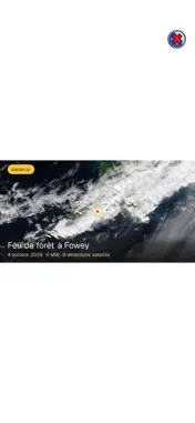
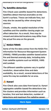
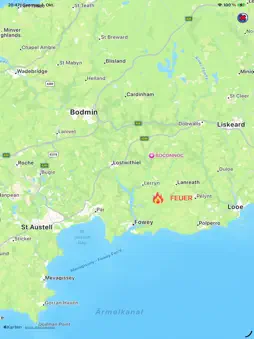
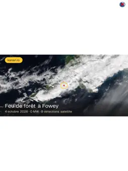
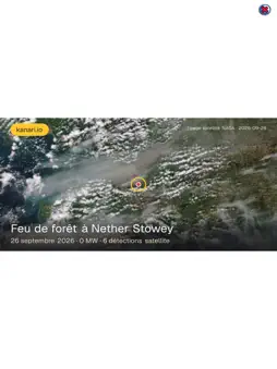
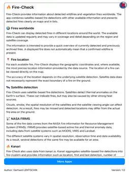
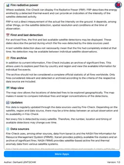
Fire-Check displays detected wildfires and vegetation fires around the world on a clear map and in lists. The app combines satellite-based fire detections with available additional information and an extensive fire archive. - Current Fires Worldwide Keep track of detected fires around the globe. Fire-Check displays available fire detections with location, coordinates and additional information. Data is updated regularly and coverage may vary depending on the region and satellite availability. - Satellite-Based Detection Fire-Check uses, among other sources, data from NASA's Fire Information for Resource Management System (FIRMS). This includes satellite-based data from different systems such as MODIS, VIIRS and Landsat. Satellites detect thermal anomalies on the Earth's surface. Such a detection may indicate a fire, but does not necessarily represent a confirmed wildfire. Clouds, smoke, spatial resolution and viewing angle can affect detection. - Fire Locations on the Map View detected fires directly on the map and compare individual fires or larger concentrations of fire detections. - Fire Archive In addition to current fire detections, Fire-Check provides an archive of significant fires. Archived fires can be viewed by country and region. Depending on availability, information such as location, period, status, satellite detections and fire radiative power is displayed. - Kanari Data Fire-Check also uses publicly available data from kanari.io. Kanari combines satellite-based fire detections into fire clusters and provides information about significant fire events in a public archive. Kanari data is provided under the CC BY 4.0 license and is used with appropriate attribution. - Fire Radiative Power When available, Fire-Check displays Fire Radiative Power (FRP). This value can provide an indication of the intensity of satellite-detected thermal activity. FRP is not a direct measurement of the actual fire intensity on the ground. - Important Information Satellite-based fire detections may be inaccurate. Not every fire is detected by every satellite. Thermal anomalies can also be caused by other heat sources or hidden by clouds and smoke. Fire-Check is intended for information and orientation only. The displayed data does not replace official warnings, government information or emergency service information. In the event of an actual fire or a potential risk to people or property, always follow the latest information and instructions from the responsible authorities and emergency services.
What's New
Version 26.0 2026-10-29
Update of App Store information and addition of the marketing URL. Technical Analysis
Package Overview Basic metadata
Bundle ID
com.gl.firecheck Current Version 26.0
Minimum iOS 26.2
Package Size App Store Size
Package Metadata 0 / 0 version records
Detailed binary, privacy manifest, framework, and Info.plist results have not been indexed for this package yet. The verified App Store and archive metadata above remains available.
Developer Information
Known Version Records
0 version records with stored package metadata
Stored metadata does not guarantee a package is currently available to download.
| Details | Version / IDs | Version date | Action |
|---|