
Preview


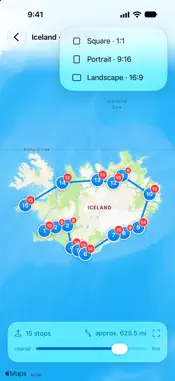
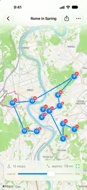


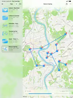

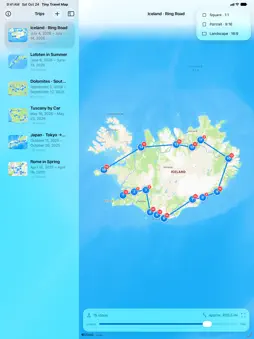


Description
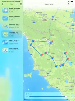
Make your travels visible – from your own photos. This app turns the location data in your photos into a clear travel route. Create a trip, add individual pictures or an entire album – the app takes care of the rest: it reads the locations of your shots, groups nearby photos into numbered stops, and connects them on a map to form your personal route. You can export the finished map as an image and share it. How it works: • Create and name a trip • Select photos or a whole album • Stops and route are generated automatically • Use a slider to control how finely or broadly the stops are grouped • Export the map as an image and share it Completely free – no catch: • No subscription, no hidden costs • No premium features behind a paywall – every feature is available to everyone • No ads, no trackers Your data stays with you: • Your photos are never copied or uploaded — only the location and capture time are read, right on your iPhone or iPad • No account, no server of our own, no cloud storage, no tracking • The only thing that goes online is the map: Apple Maps loads the map data for the area being shown Perfect for vacations, city trips, hikes, or road trips: see at a glance everywhere you've been – and capture your journey as a map.
What's New
Version 1.3 2026-10-25
iOS 27 Support and UI Optimization Technical Analysis
Package Overview Basic metadata
Bundle ID
felix.Ai-iOS-TravelMap Current Version 1.3
Minimum iOS 26.0
Package Size App Store Size
Package Metadata 0 / 0 version records
Detailed binary, privacy manifest, framework, and Info.plist results have not been indexed for this package yet. The verified App Store and archive metadata above remains available.
Known Version Records
0 version records with stored package metadata
Stored metadata does not guarantee a package is currently available to download.
| Details | Version / IDs | Version date | Action |
|---|