Preview

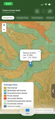


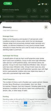

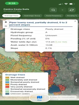


Description
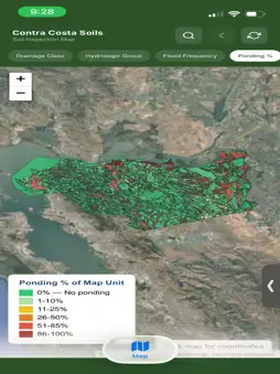
This app integrates USGS SSURGO soil survey data and Google Earth satellite imagery to allow technicians to access soil data as it pertains to their zone. Later plans to integrate with trap data.
What's New
Version 1.0.2 2026-04-21
Update includes an opacity slider for color tiles, and integration with county assessor records to display APN numbers of parcels shown within each data zone (w...Update includes an opacity slider for color tiles, and integration with county assessor records to display APN numbers of parcels shown within each data zone (where applicable) Technical Analysis
Package Overview Basic metadata
Bundle ID
app.replit.ccsoilsforvectorcontrol Current Version 1.0.2
Minimum iOS 15.1
Package Size App Store Size
Package Metadata 0 / 3 version records
Detailed binary, privacy manifest, framework, and Info.plist results have not been indexed for this package yet. The verified App Store and archive metadata above remains available.
Known Version Records
0 version records with stored package metadata • 3 known version records
Stored metadata does not guarantee a package is currently available to download.
| Details | Version / IDs | Version date | Action |
|---|---|---|---|
| Not archived | App Store ID: 884743517 | Unknown | Request Version |
| Not archived | App Store ID: 884567946 | Unknown | Request Version |
| Not archived | App Store ID: 884416861 | Unknown | Request Version |