
Preview






Description
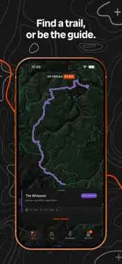
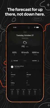
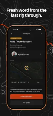
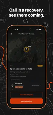
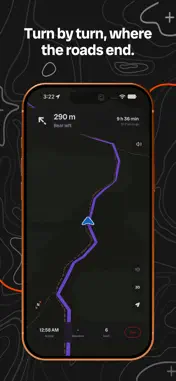
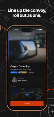
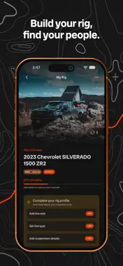
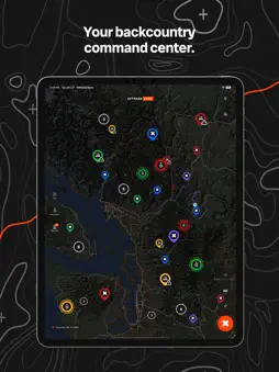
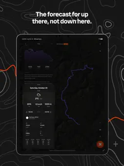
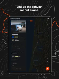
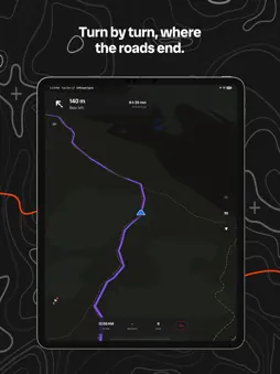
Find your crew. Run the trail. Get home safe. Offroad Sync is the map-first app for off-road and overlanding crews. Find trails, plan runs, call for recovery, and let your rig build your rep. One map for the whole crew, from the driveway to the trail and back. Built by wheelers, for wheelers. ▶ TRAILS, WITH THE LINE ON THE MAP Search a trail by name, narrow it by place, and see the line drawn before you commit: distance, difficulty, high and low point, and the climb ahead of you. Got a GPX from a buddy? Open it and it lands on your map. ▶ BE THE TRAIL GUIDE Record a trail by driving it. Offroad Sync finds the trail inside your day out and leaves the highway miles behind, then hands you the line to name and publish. Keep it to yourself or put it out there for the next rig through. Export as GPX any time. ▶ TURN BY TURN, WHERE THE ROADS END Guidance that follows the line, not the road, with spoken directions and maps that keep working where the bars run out. ▶ KNOW WHOSE LAND YOU'RE ON Stack the layers you need: topo, forest service roads, parks and public land, Backroad Status road conditions and 4WDABC rec sites. In BC, see where Crown land is open, and tap a lot to see what kind of owner holds it. Layers save with your offline maps. Pro adds your own from a tile URL. ▶ THE MAP MOVES TO THE DASH Offroad Sync on CarPlay: your trails on the car's screen, search by name, layers, the light or satellite map, and arrival and distance along the bottom. ▶ WEATHER FROM UP THERE, NOT FROM TOWN The forecast for the trail itself: rain, wind, gusts, snow line, pressure, UV and how much daylight you have left. ▶ WILDFIRES ON YOUR MAP Active fire perimeters from BC Wildfire Service, Alberta Wildfire, Yukon Wildland Fire and NIFC, pulled in through the day so you know what is burning before you roll out. ▶ SEE EVERY RUN ON ONE MAP Trips, events, recoveries and trail reports, live on one map and filtered to exactly what your rig can handle. Run it dark, light for full sun, or on satellite, and save the map for offline. ▶ RECOVERY WHEN IT COUNTS Stuck, buried, or broke down? Fire off a recovery request in a few taps with your spot, your rig, and what you need. Nearby members with the right gear get pinged and roll out, and you watch help close in on the map, live, right on the main button. This is what sets Offroad Sync apart. ▶ TRAIL COMMS Crews talk on the radio. Every trip carries its comms spec (GMRS, HAM, or CB) so the whole convoy is dialled in before you roll out. Hosts fire one-way broadcasts: meet point moved, trail is washed out, air down here. ▶ FRESH WORD FROM THE LAST RIG THROUGH Community trail reports flag mud, washouts, downed trees and closures, dropped by the crews who were just there. Others confirm they are still there or mark them cleared, so the map stays honest. ▶ YOUR RIG IS YOUR IDENTITY Add your vehicle, its mods, tires and recovery gear to earn a capability tier and build cred. Search finds people and rigs by name, and crews can drop a like on a build they rate. Trust stacks up through runs completed, recoveries answered and badges earned. Real activity, not a star rating. ▶ ON IPHONE, IPAD AND IPHONE DUO Closed, the controls ride the side rail and the trail gets the screen. Open, the map runs across both pages. On iPad, the map sits beside your lists. ▶ SAFETY STAYS FREE Planning runs, recovery, rigs, the map: never behind a paywall. A Pro tier adds extras for power users, but it will never gate what matters. Offroad Sync is not an emergency service. In a life-threatening emergency, always call 911. Recovery connects you with the off-road community, not professional rescue, towing, or medical services. Wildfire and weather information comes from public agencies and may be delayed or incomplete. Always check official sources before you travel. Got an idea or found a bug? Open About Offroad Sync in the app, then Send Feedback. We read every message. Terms of Use: https://offroadsync.com/terms
What's New
Version 1.3.1 2026-10-31
Small UI polish and bug fixes throughout Technical Analysis
Package Overview Basic metadata
Bundle ID
com.offroadsync.app Current Version 1.3.1
Minimum iOS 16.4
Package Size App Store Size
Package Metadata 0 / 0 version records
Detailed binary, privacy manifest, framework, and Info.plist results have not been indexed for this package yet. The verified App Store and archive metadata above remains available.
Developer Information
Known Version Records
0 version records with stored package metadata
Stored metadata does not guarantee a package is currently available to download.
| Details | Version / IDs | Version date | Action |
|---|