
Preview



Description
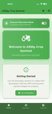
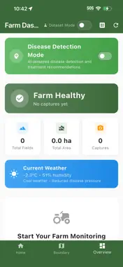
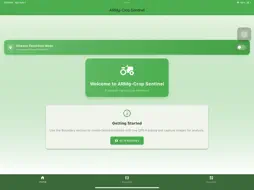
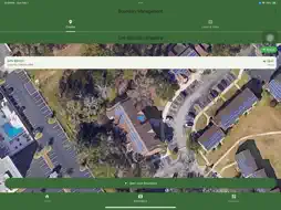
Professional boundary mapping app with GNSS support for agriculture and surveying applications
What's New
Version 1.0.2 2026-02-16
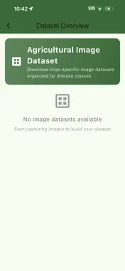
New Features: • ROI Annotation Tool - Mark specific regions of interest on plant images using rectangle or circle selection for precise disease area identificat...New Features: • ROI Annotation Tool - Mark specific regions of interest on plant images using rectangle or circle selection for precise disease area identification • Enhanced Dataset Export - CSV exports now include 11 additional columns with ROI coordinates, shape data, and image dimensions for machine learning applications • Annotation Preview - Visual overlay shows annotated regions with green borders in capture review and analysis screens Technical Analysis
Package Overview Basic metadata
Bundle ID
com.armg.boundaryMapper Current Version 1.0.2
Minimum iOS 13.0
Package Size App Store Size
Package Metadata 0 / 3 version records
Detailed binary, privacy manifest, framework, and Info.plist results have not been indexed for this package yet. The verified App Store and archive metadata above remains available.
Known Version Records
0 version records with stored package metadata • 3 known version records
Stored metadata does not guarantee a package is currently available to download.
| Details | Version / IDs | Version date | Action |
|---|---|---|---|
| Not archived | App Store ID: 882516841 | Unknown | Request Version |
| Not archived | App Store ID: 882428696 | Unknown | Request Version |
| Not archived | App Store ID: 882020791 | Unknown | Request Version |