Preview

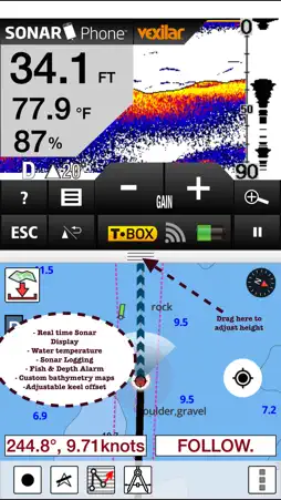

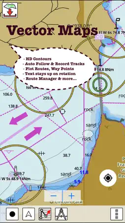
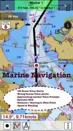


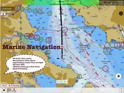
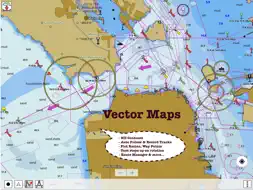
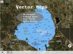

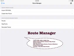
Description
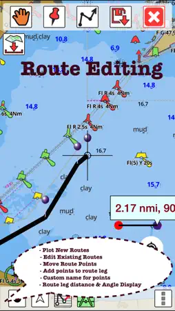
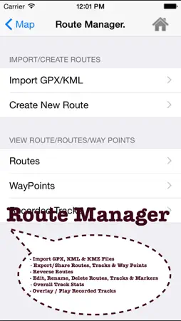
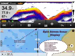
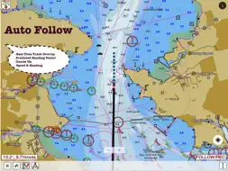
GPS Marine Charts App offers access to charts covering Malta, Cypress and S. Mediterranean sea. Only marine GPS app to have route assistance with Voice Prompts for marine navigation. It has route manager to create new boating routes or import existing GPX/KML routes. It supports Nautical Charts course up orientation. ► Voice Prompts for marine navigation (requires GPS ) -prompts when approaching a boating route marker -Continous distance and ETA updates -Alerts when sailing/boating off route -Alerts when boating in wrong direction ►Route Editing/Creation -Create routes from scratch -Edit existing GPX/KML routes. -Add custom description to any route point. -Drop markers along route. ► Advanced NMEA Instrumentation √AIS over TCP/UDP √Wind speed, direction, temperature, depth, GPS over NMEA ► Offline charts for Persian/Arabian Gulf, Red Sea and Gulf of Aden. ►Seamless chart quilting of marine charts ►Distance Bearing tool ►Create custom way points - Using GPS -Select point on map -Manually enter latitude & longitude coordinates *Pan/Zoom/My Location * Record Marine GPS tracks * View tracks overlay * Live track animation * Track analytics/stats ► Export GPX tracks. -Export to SDCard -Share GPX trakcs with friends/View on Google earth. ►Auto Follow Mode (Course up) -Continuously updates boat's location on chart - Adjustable update frequency Battery Disclaimer: "Continued use of GPS running in the background can dramatically decrease battery life."
What's New
Version 124.0.0 2022-07-19
- Compiled with latest version of Xcode - Auto Routing Support Technical Analysis
Package Overview Basic metadata
Bundle ID
com.skiracer.xmmarinevec Current Version 124.0.0
Minimum iOS 8.0
Package Size App Store Size
Package Metadata 1 / 2 version records
0.0 / 5.0 (0 ratings)
Detailed binary, privacy manifest, framework, and Info.plist results have not been indexed for this package yet. The verified App Store and archive metadata above remains available.
Developer Information
Known Version Records
1 version record with stored package metadata • 2 known version records
Stored metadata does not guarantee a package is currently available to download.
| Details | Version / IDs | Version date | Action |
|---|---|---|---|
| 61.73 MB | v124.0.0 App Store ID: 850922762Build: 124.0.0 | 2022-07-19 21:50:02 | Paid / Arcade |
| Not archived | App Store ID: 831392829 | Unknown | Paid / Arcade |