Preview








Description
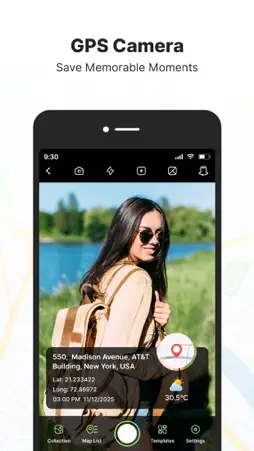
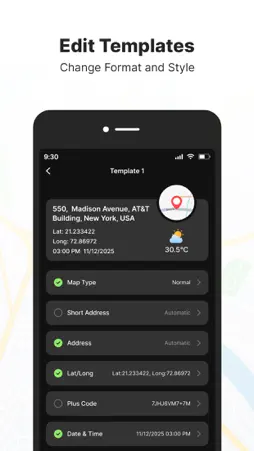
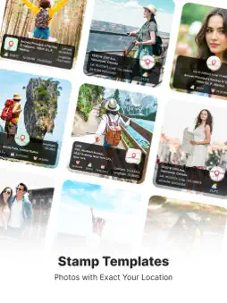
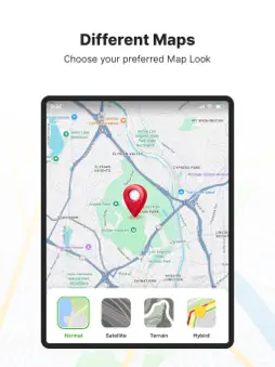
GPS Map Camera – GeoTag Relive your travel memories and place-based moments with GPS Map Camera. Capture photos with accurate GPS map stamps, including date & time, live map, latitude, longitude, weather, compass direction, magnetic field, and altitude—directly added to your camera photos. Track your live location while taking pictures and create geotagged photos of streets, landmarks, and destinations. Easily share location-stamped photos with family and friends and let them experience your travel memories exactly where they happened Features: • Custom GPS camera with grid, aspect ratio, flash, focus, mirror, timer, and camera level • Automatic or manual photo map and GPS data settings • Built-in QR code scanner for quick and easy scanning • Classic template with automatically fetched location and stamp details • Advanced Template Includes: 1. Map Options: Choose photo map styles such as Normal, Satellite, Terrain, or Hybrid 2. Short Address: Automatically add a brief location name to photos 3. Full Address: Select and add location using manual or automatic location picker 4. Latitude & Longitude: Display GPS coordinates in decimal format 5. Plus Code: Add accurate or concise location codes 6. Date & Time: Apply date and timestamp using multiple format options 7. Time Zone: Support for GMT and UTC time zones 8. Logo: Upload and display your brand logo on photos 9. Notes: Add custom notes or descriptions to images 10.Weather: Show temperature in Celsius or Fahrenheit 11.Wind Speed: Display wind measurement details 12.Pressure: Add atmospheric pressure of the location 13.Altitude: Automatically calculate and display altitude 14.Accuracy: Show GPS accuracy directly on the image This app contains subscription Monthly pro at $1.99 and Yearly pro at $9.99 to use ads free versions of the premium app which can cancel anytime. To learn about our privacy policy, please visit: https://bhaskarrao2209.blogspot.com/2025/12/privacy-policy.html For our terms of use, please visit: https://bhaskarrao2209.blogspot.com/2025/12/terms-of-service.html GPS Map Camera – GeoTag - Capture photos with GPS location, map, address, date, and time automatically stamped.
What's New
Version 1.4 2026-10-12
Enhanced overall performance. Resolved minor bugs and improved app stability. Technical Analysis
Package Overview Basic metadata
Bundle ID
com.br.gps.map.camera Current Version 1.4
Minimum iOS 15.0
Package Size App Store Size
Package Metadata 1 / 4 version records
Detailed binary, privacy manifest, framework, and Info.plist results have not been indexed for this package yet. The verified App Store and archive metadata above remains available.
Developer Information
Known Version Records
1 version record with stored package metadata • 4 known version records
Stored metadata does not guarantee a package is currently available to download.
| Details | Version / IDs | Version date | Action |
|---|---|---|---|
| 31.01 MB | v1.3 App Store ID: 887216312Build: 1.3 | 2026-07-08 01:19:03 | Get Version |
| Not archived | App Store ID: 886274307 | Unknown | Request Version |
| Not archived | App Store ID: 884459443 | Unknown | Request Version |
| Not archived | App Store ID: 880834235 | Unknown | Request Version |