
Preview


Description
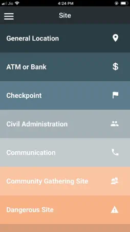
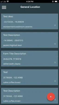
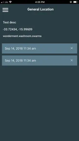
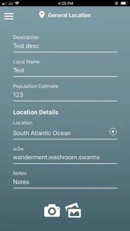
This app is designed as a free tool for disaster recovery evaluation within a small community. The process is simple: After a disaster, choose a walkable area in your town where important signs of recovery may later be found. Map them while they’re broken (an ATM, a school, a market, a water tap, a streetlight…) by walking around weekly and documenting their status. There are 22 categories built into the app, including dead bodies, dangerous sites, water, traffic stoplights, cell antennas and more. The collected data can be displayed remotely on a website dedicated to a specific event (like Hurricane Michael sweeping through the southeast US) or a specific geography (like the hillside villages after the Nepal earthquake).
What's New
Version 1.1.3 2018-11-27
UI and Backend Bug Fixes Technical Analysis
Package Overview Basic metadata
Bundle ID
com.atdrive.reache Current Version 1.1.3
Minimum iOS 8.0
Package Size App Store Size
Package Metadata 0 / 0 version records
Detailed binary, privacy manifest, framework, and Info.plist results have not been indexed for this package yet. The verified App Store and archive metadata above remains available.
Known Version Records
0 version records with stored package metadata
Stored metadata does not guarantee a package is currently available to download.
| Details | Version / IDs | Version date | Action |
|---|