
Preview








Description
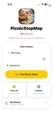
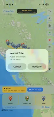
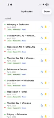
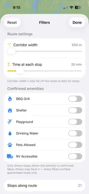
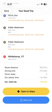
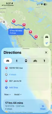
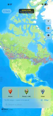
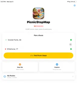
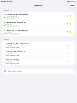
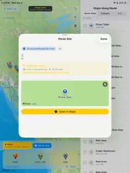
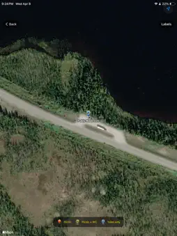
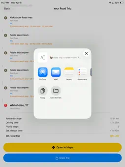
Planning a road trip across Canada? PicnicStopMap finds every picnic stop, rest area, and public washroom along your route — before you leave the driveway. Enter your start and end city, and the app instantly calculates your route and shows thousands of stops along the way: highway rest areas, provincial and national parks, conservation areas, town parks, and public washrooms. Canada only. All data stored on your device — no subscription, no account needed. **PLAN YOUR ROUTE** • Enter any two Canadian cities as origin and destination • Add up to 4 via stops to route through specific cities or take the scenic road • Swap origin and destination in one tap for the return trip • The app finds up to 3 alternate routes and ranks them by how many stops they pass **FIND THE RIGHT STOPS** • Filter by type: Picnic only, Picnic with confirmed washrooms, or Toilet stops • Filter by confirmed amenities: BBQ grills, shelter, playground, drinking water, pets allowed, RV accessible • Adjust the corridor width (how far off the road to look) from 500 m to 50 km • Stop details show fee, hours, seasonal status, website, and notes **SEND TO APPLE MAPS** • Double-tap stops on the map to add them to your trip • Tap Open in Apple Maps to get turn-by-turn directions through all your chosen stops in route order • Share your planned stops as a text list with an Apple Maps link — AirDrop it to your travel companions **EXPLORE & NEAR ME** • Explore mode: browse any part of Canada and search stops by name or place • Near Me: see what's within 1–100 km of your current location with one tap • Nearest washroom chip always shows the closest toilet stop and distance **SAVE YOUR ROUTES** • Bookmark favourite routes and reload them any time • Your last 15 routes are saved automatically • Share saved routes with a formatted stop list and Apple Maps link **THE DATA** • Thousands of stops across every Canadian province and territory • Data sourced from OpenStreetMap, Ontario Parks open data, and provincial MTO datasets • Entirely offline — no internet needed to browse or filter stops (map tiles and routing require a connection) Canada only. Built for the open road.
Technical Analysis
Package Overview Basic metadata
Bundle ID
arcticsurf.picnicstopmap Current Version 1.0
Minimum iOS 17.0
Package Size App Store Size
Package Metadata 1 / 1 version records
Detailed binary, privacy manifest, framework, and Info.plist results have not been indexed for this package yet. The verified App Store and archive metadata above remains available.
Developer Information
Known Version Records
1 version record with stored package metadata
Stored metadata does not guarantee a package is currently available to download.
| Details | Version / IDs | Version date | Action |
|---|---|---|---|
| 60.77 MB | v1.0 App Store ID: 884300697Build: 1.0 | 2026-04-14 17:59:26 | Paid / Arcade |